Minister Diana Morant visits CSIC teams studying the La Palma eruption
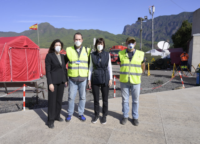
The Minister of Science and Innovation, Diana Morant, travelled to the island of La Palma this Thursday, 21 October, where she held several meetings with the CSIC teams working on the monitoring and follow-up of the volcanic eruption. Our colleague Manuel Nogales, in his capacity as IPNA researcher and CSIC delegate in the Canary Islands, had the opportunity to talk to Minister Morant about the current situation of the scientific work being carried out on the island.
The minister's agenda included intense activity beginning with a visit to the Advanced Command Post, where she participated in the daily meeting of the Scientific Committee of the Canary Islands Volcanic Emergency Plan (PEVOLCA). She then met with staff from the Spanish Geological and Mining Institute (IGME), the Carlos III Health Institute (ISCIII) and the Oceanic Platform of the Canary Islands (PLOCAN). At the end, she went to the Tajuya viewpoint, accompanied by a team from the IGME, where she continued to receive detailed information on the emergency. Finally, she boarded the oceanographic vessel Alvarez Alvariño to see first-hand the work of the staff of the Spanish Oceanographic Institute (IEO). Like the IGME, this centre belongs to the Spanish National Research Council (Consejo Superior de Investigaciones Científicas).
IPNA on La Palma
Teams from the Institute of Natural Products and Agrobiology (IPNA-CSIC) are carrying out a systematic sampling of the lava flows and ashes emitted during the eruptive process, for subsequent geochemical and petrological studies. In addition, they are calculating the flux of sulphur dioxide and other gases emitted by the volcano. They also carry out continuous high-resolution measurements to determine the ground surface deformation associated with the eruptive process and analyse its development through time.
In addition, IPNA-CSIC volcanic geophysics experts are carrying out two types of research. The first consists of determining the structure and dynamics of the active magmatic system feeding this eruption at depth (i.e. how much and where the available magma is stored). To determine these parameters, they process satellite radar images and use a network of sensors to capture volcanic deformation (inclinometers and GPS stations) that has recently been installed to complement and densify the existing network of the Spanish National Geographical Institute (IGN). The second research line examines rock samples from the lava to determine their thermo-mechanical parameters. This will facilitate the design of strategies to reconstruct infrastructure on the lava-flows after the eruption ends.
Work is also being undertaken in collaboration with the Government of the Canary Islands and PEVOLCA, as a scientific complement, on air quality monitoring. Atmospheric science instrumentation is used to measure ultrafine particle size distributions, sulphuric acid nucleation, and black carbon (soot). They measure other pollutants that are not usually studied in air quality networks, to assess the impact that emissions from the volcano and fires caused by lava (greenhouses, houses, etc.) are having on the air people breathe. Advice is also given on preventive measures to be taken, e.g. use of masks, and avoidance of volcanic fog (vog).
As far as agriculture is concerned, a mixed unit formed by personnel from the Cabildo Insular de La Palma and the IPNA-CSIC is taking samples and analysing data concerning soil, fruit and leaves in farms on the island at varying altitudes and distances from the volcano. The crops being studied are banana, avocado, mango, citrus and ornamental protea flowers. Finally, a group of biologists are investigating the impact of the volcano on the island's biodiversity, especially the species with conservation problems.